DEM represents the bare-earth surface, removing all natural and built features. It has critical importance in the areas of land-use planning, infrastructural project management, soil science, hydrology, and flow-direction studies. DEMs are used for contouring of topographic and relief maps across greater spatial scales. The availability of DEMs is critical for performing geometric and radiometric corrections for terrain on remotely sensed imagery and allows the generation of contour lines and terrain models, thus providing another source of information for analysis.
Present mapping programs are rarely implemented with only planimetric considerations. The demand for DEMs is growing with increasing use of GIS and with increasing evidence of improvement in information extracted using elevation data, which is used in the production of popular topographic maps. Elevation data, integrated with imagery is also used for generating perspective views, useful for tourism, route planning, to optimize views for developments, to lessen visibility of forest clearcuts and for major transportation routes.
DSM captures both the natural and manmade features of the earth surface. LiDAR applications mostly focus on DEM and DSM. We first classify raw data into ground, low points, vegetation, building, pylon and hydrological class by using automatic macros. Our experts then perform a detailed quality check. We offer high quality outputs and help you leverage your operational efficiency by minimising the costs.
DTM typically augments a DEM, by including natural vector features, such as ponds, lakes, rivers, ridges etc. DTMs are more applicable for Geographic Information System (GIS) and cartographic representations.
Enfragy provides LiDAR data classification as well as DTM data capturing using 3D image pair (both Aerial & Satellite).
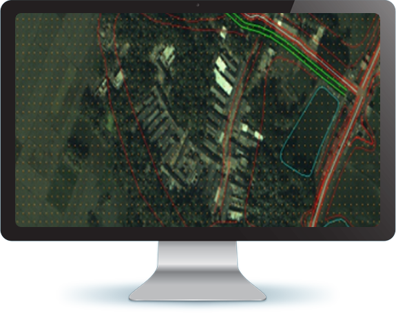
Enfragy has more than 15 years of work experience on DEM/DSM work. data. We have successfully completed more than 4,195.55 sq. km of DEM/DSM generation work.


Scope of Work: