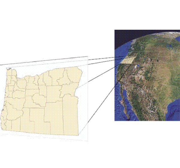
We provide aerial mapping with topographic, hydrographic and utility surveys. These projects require extensive research, review of reference maps and extensive field investigation.
Read More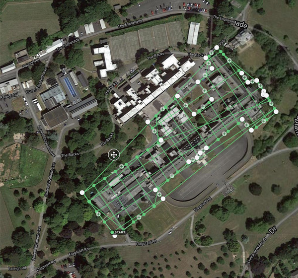
Satellite imagery interpretation and classification has wide applications in various domains owing to its information capability and pervasive view of projects and spaces. The imagery sequences obtained from satellites are processed and converted into maps with databases to be used as collective references. The images from different satellites are collected, studied and interpreted according to project specific requirements. This information repository is used to create informational and resource-based maps and images of areas.
Read More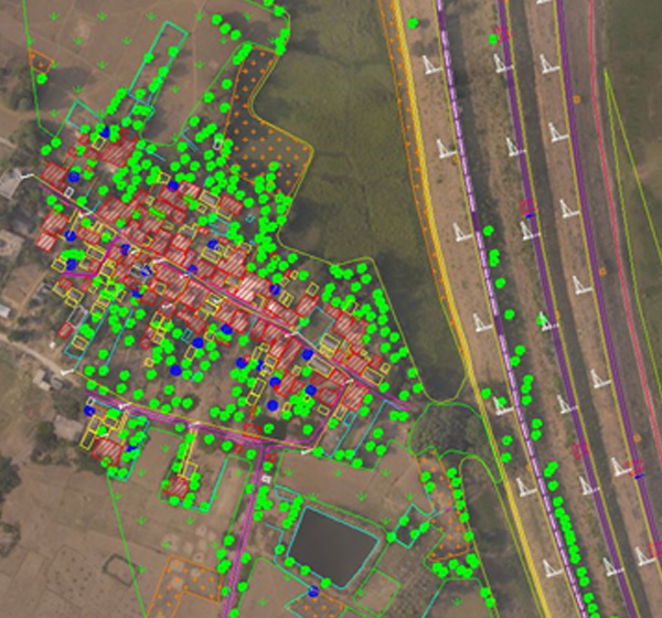
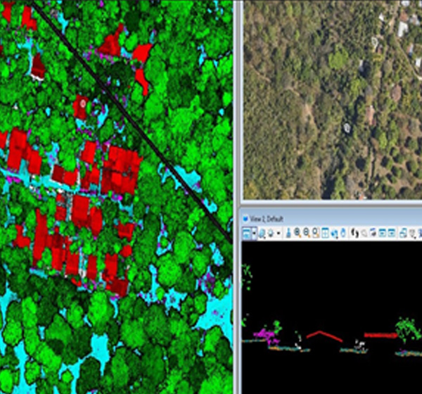
LiDAR is an acronym for “light detection and ranging.” This term is used to describe an airborne laser profiling system that produces location and elevation data to define the surface of the earth and the heights of above-ground features. Mounted on either a helicopter or a fixed-wing aircraft, LiDAR systems use the near-infrared portion of the electro-magnetic light spectrum to collect data during night or day, in canopy, and beneath clouds. Using semi-automated technique, the “raw” LiDAR data is processed to generate several useful end products.
Read MoreDigital orthophoto is an image generated by differentially rectifying scanned aerial photographs to compensate distortions due to the altitude of the aircraft and the relief of the terrain. Digital orthophoto combines the image characteristics of a photograph with geometric qualities of a map. Orthorectification in photogrammetry includes the following inputs for processing, viz. sensor information, orbital parameters, ground control and elevation information. We guarantee the best geo-referencing and orthorectified output within your budget, meeting your delivery time.
Read More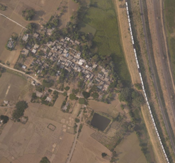
We offer highly skilled extraction of accurate height models in the form of Digital Elevation Model (DEM) and Digital Surface Models (DSM). We offer high quality output and help you leverage your operational efficiency by minimising the costs.
Read More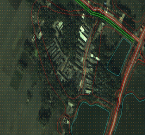
Georeferencing is the process of taking a digital image, which could be an air photo, a scanned geologic map or a picture of a topographic map, and adding geographic information to it so that Geographical Information System (GIS) or mapping software can ‘place’ the image as per the real-world x and y coordinates.
Read More