Utility Survey or Underground Survey is used to check the existing underground wiring or lay new lines for water, power, fibre optics, drainage, sewage, gas and telecommunications. The procedure is practiced ensuring that none of the underground assets are interfered with or damaged during the laying work. This vital service lessens the construction risk for the utility owners. This ultimately reduces cost as it helps minimise project delay and damage to other assets.
We use Electronic Pipe Locator (EPL) and Ground Penetrating Radar (GPR). GPR is used to send radio signals into the ground, which creates an image of the pipes and cables, which are below the earth surface. EPL is used to trace out cast iron pipes or any metallic pipes. It can also be used by utilities that have trace wires and inactive power and communication lines. A transducer or antenna is moved along the ground by an operator whilst GPR transmits radio pulses. Underground buried materials, such as pipelines or wiring, bounce the pulses back, which are then stored in the GPR’s control unit. Ultimately, these signals display as different bands, which aid in complete underground assessment. This is a cost-effective and hassle-free method of seeing what’s underground without any drilling or digging.
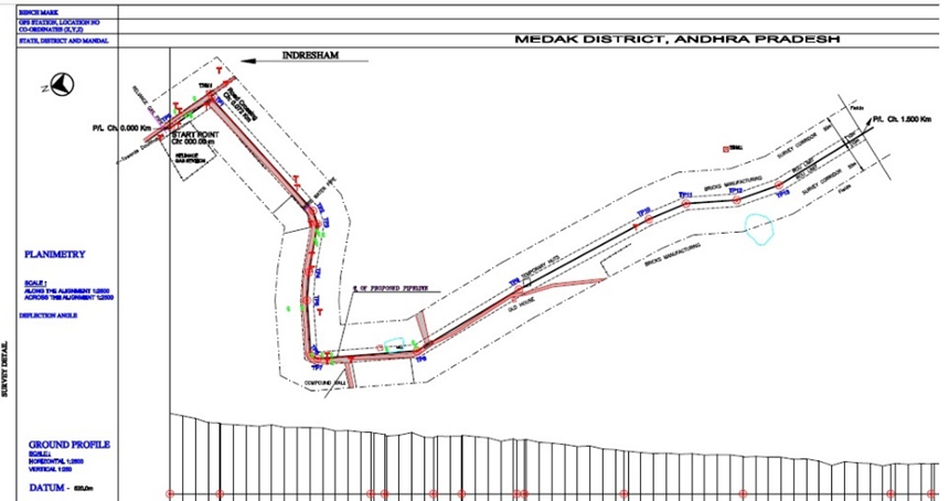
Astha Power Corporation Private Limited, Hyderabad, had proposed to lay a cross country pipeline (Indresham - Pashamyalaram pipeline) for transportation and distribution of Compressed Natural Gas (CNG) to various consumer locations from the tap off point of Reliance (RGTIS – MLV 13), Indresham village, Patancheru. This required systematic cross country pipeline route surveys along with engineering and cadastral surveys.
Three alternative routes were identified through a desktop study & field verification. A report was submitted on overall survey, which was carried out from Indresham to Pashamyalaram, which covered detailed engineering route survey for 14.482 km of the pipeline route. The survey covered about 50 meters on either side of centre line of the survey corridor.
The terrain of this segment exhibited nearly plain land with little variation in physiographic setting. The entire length of this segment traversed through non - forest area. Maximum care was taken to ensure its passage through non-agricultural land.
Scope of Work: Survey for laying of gas pipeline - 14.482-line kms.
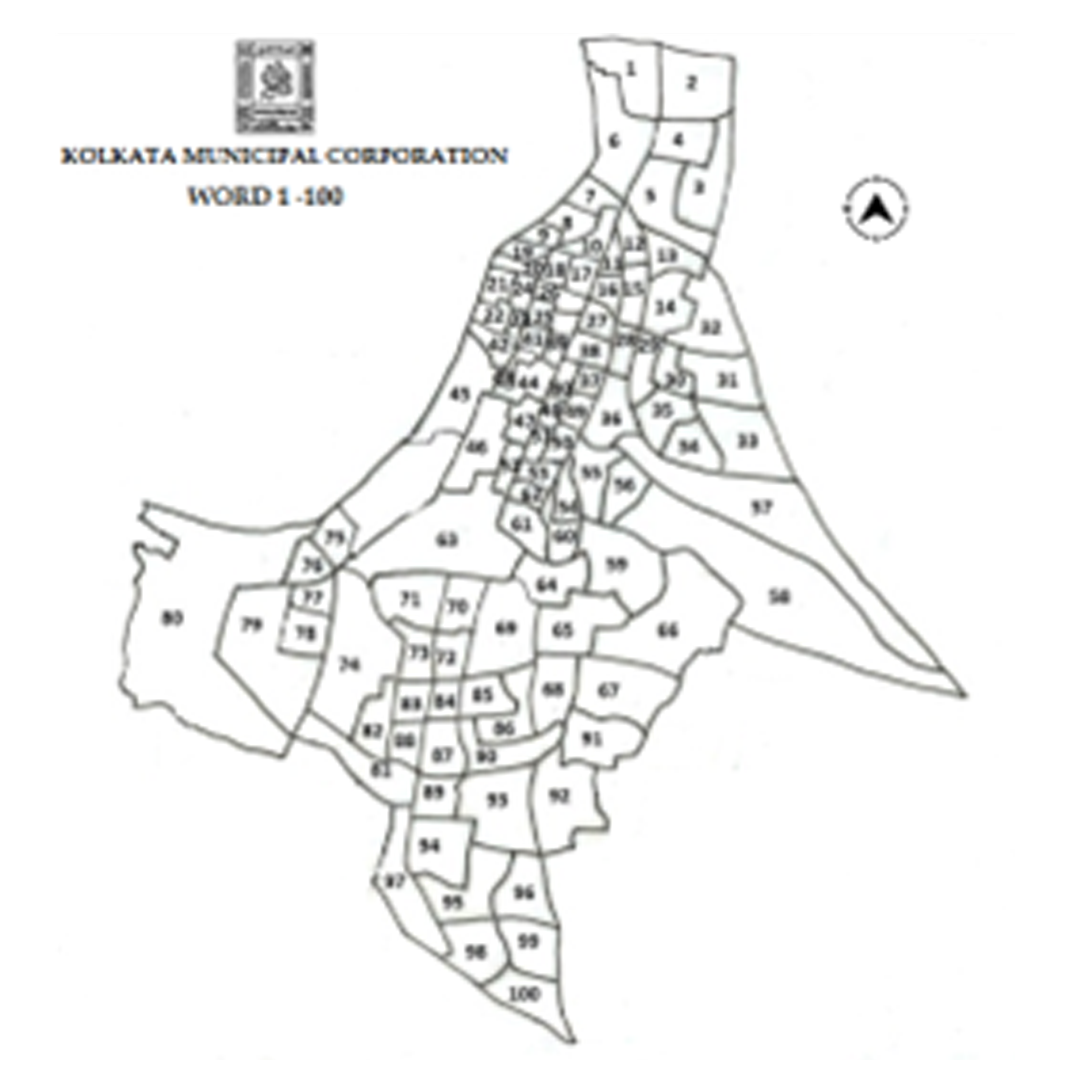
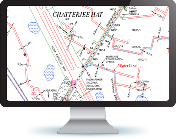
The project was implemented for “Improvement in the Management of Water Supply System of Kolkata” for Kolkata Municipal Corporation (KMC) under the Indo-French protocol. Seureca Space Consulting Engineer, part of Veolia Water Group, France, had been awarded this contract through Indo-French financing. The project was undertaken with the objective to minimize wastage of water, maintain flow and pressure and keep record of water consumption where water management software was being used to collect data. The aim of the project was to monitor and maintain the water supply system of Kolkata. This project was implemented for Ward 1 to Ward 100 of the city.
Enfragy (Former Eaga Energy India Private Limited) was responsible for updation and modification of the base map, underground utility survey using high end technology and implementation of GIS for around 160 sq. km. of the city area.
Scope of Work: