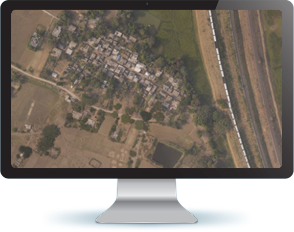
An orthophoto is an aerial/satellite photograph that has been geometrically corrected or 'ortho-rectified' such that the scale of the photograph is uniform and utilised in the same manner as a map. An ortho-photograph can be used to measure true distances of features within the photograph.
Our digital orthophotography output provides valuable information about the terrain from which true distances, angles and areas can be measured. The ortho photos are merged using ortho software and seam lines are digitised, to ensure a seamless mosaic of the entire project area. Orthophoto mosaics are created by merging or tiling together orthophotos, which are then clipped according to the specified dimensions.
The orthorectification of remote sensing imagery unites relief effects corrections and geo-referencing with high location accuracy. We guarantee the best geo-referencing and orthorectified output within your budget, meeting your delivery time.
Enfragy has more than 12 years of work experience on Orthophoto Generation. We have successfully processed more than 6,900 sq. km of data covering more than 14 cities.

Orthophotos provide highly detailed coverage combined with the benefits of a map, including uniform scale and true geometry.