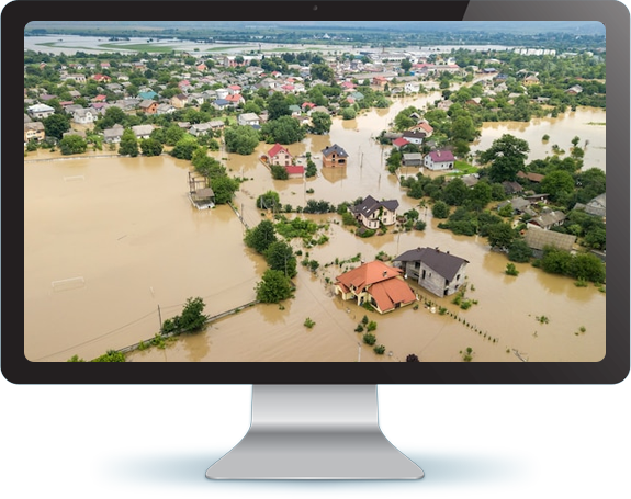
Our recently completed projects for INCOIS (Indian National Centre for Ocean Information Services) and NHP (National Hydrology Project) will be extremely helpful to our Nation to detect Tsunami and provide Flood alert. The virtual data created by Geotiff will help to identify the direct impact on environment. The rise in river/sea level can be measured and an advance alert can be sent to low land areas.

Case Study: LiDAR for National Remote Sensing Centre, Indian Space Research Organization (ISRO)

Scope of Work:

  • Godavari Basin — Andhra Pradesh (177 sq. km)
  • Tapi River — Gujarat (149 sq. km)
  • Indian National Centre for Ocean Information Services (INCOIS) – Gujarat and Maharashtra (1061 sq. km)
  • West Bengal (709 sq. km)
  • Assam Phase 2 (1,080 sq. km)
  • Orissa and West Bengal (400 sq. km)
  • Godavari (285 sq. km)
  • Assam (1,036 sq. km)
  • Bihar (1,208 sq. km)
  • Orissa (570 sq. km)
  • Water and Power Consultancy Services Ltd. (WAPCOS) (71 sq. km)
  • Water Resources Development Organization (WRDO) (203 sq. km)